
Interactive Map Combines Data on Fish, Habitat in the Middle Peninsula’s York River
The Middle Peninsula of Virginia’s York River is a busy place. Its banks are home to residents, businesses, and agriculture, as well as the Navy’s Yorktown Naval Weapons Station and Cheatham Annex and many green spaces. The river itself, located in the NOAA Middle Peninsula Habitat Focus Area, is treasured for commercial and recreational fishing as well as other recreational activities.
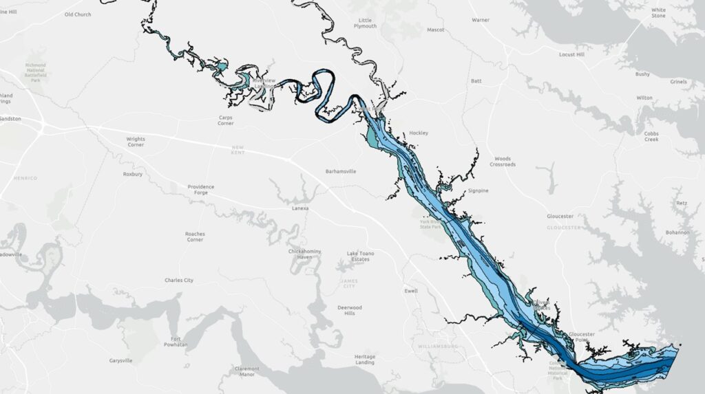
Understanding the fish and habitats of the York River is key to making decisions that lead to sustainable management of commercially and recreationally important species. To help federal, state, and local managers make informed decisions about permitting and building activities in the area, the NOAA National Centers for Coastal Ocean Science developed an interactive map of the York River. The map includes information about some fish species that are found in the York and the habitats in the river that they use. It can also be used by people who are simply curious about what fish use different parts of the river.
NOAA scientists used data from trawl and seine fish surveys conducted by the Virginia Institute of Marine Science to inform the map. For each site a user selects, they can learn how often more than 2 dozen fish species were caught during those surveys.
The map also includes information on water temperature, salinity, and turbidity as well as levels of dissolved oxygen, turbidity, nitrogen, and phosphorus. It also features information on submerged aquatic vegetation (SAV) coverage, wetland areas, benthic habitat, oyster lease areas, and where fish nets are present. This information is useful for resource managers—and for fishermen, too.
An interactive map is a great vehicle for exploring—dive on into the York River using this new tool!