St. Louis River Habitat Focus Area Team Completes Public Access and Cultural Guidebook
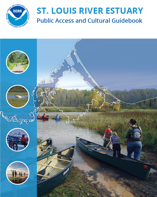
Tourism is one of the largest industries around the St. Louis River, especially in Duluth, Minnesota, creating well over $780 million in annual direct economic impact. To bring more attention to the estuary, NOAA worked with local partners to promote public access and cultural tourism as part of the St. Louis River Habitat Focus Area. The result is a new interactive Public Access and Cultural Guidebook that provides information on where the public can access the water, recreational opportunities, and cultural and historical sites.
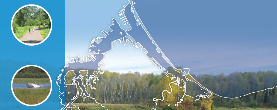
The St. Louis River estuary is a dynamic, unique, and resilient landscape. It not only blends the waters of the St. Louis River with those of Lake Superior, it also blends urban and wild settings, offering numerous opportunities for recreation, tourism, and education. This guidebook is meant to help connect people to all that the river has to offer.
The guidebook has 36 maps showing the location of amenities in the area, marked with color-coded trails or icons to note available activities. Each map is paired with descriptions of highlighted features. The guide features recreational opportunities ranging from trails for hiking, biking, skiing or paddling, to cultural museums and access sites for fishing, swimming, boating and bird-watching, and many more.
This project was supported with funding from NOAA’s Office for Coastal Management as part of NOAA’s Habitat Blueprint initiative. This guide completes the planned work under NOAA’s Implementation Plan for the St. Louis River Estuary Habitat Focus Area to support multiple uses of the estuary by promoting public access and cultural tourism.

