NOAA and Partners Release New Map Viewer for West Hawaiʻi Habitat Focus Area
Article contributed by Brad Stubbs
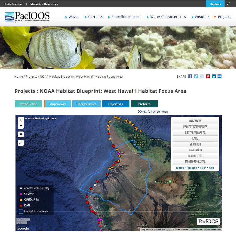
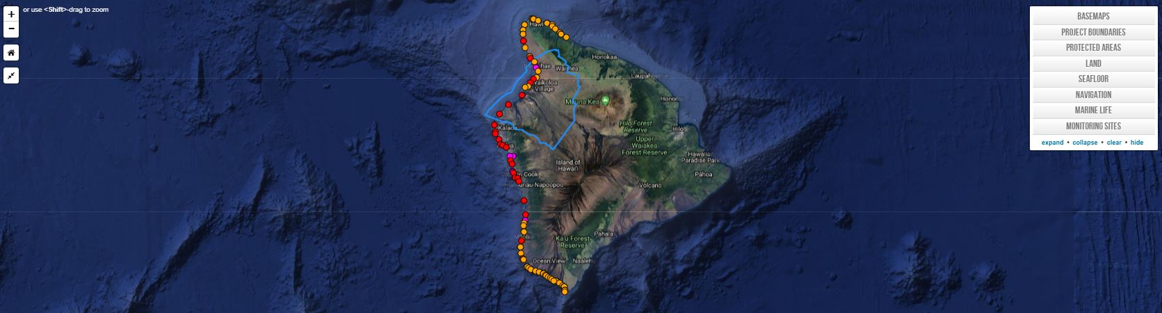
The West Hawaiʻi Habitat Focus Area (HFA) team released the West Hawaiʻi HFA Map Viewer on the Pacific Islands Ocean Observing System (PacIOOS) website. The map viewer provides a platform to geographically view the type of scientific data collected within the HFA. Available datasets include project boundaries, protected areas, various land and seafloor features, navigation areas, marine life, and monitoring sites.
The visual information and customizable maps allow NOAA, partners, and community members to better work toward the long-term goals of improving coral reef habitat, fostering sustainable use of marine resources, and increasing local capacity for future management of the area. The tool enables NOAA and partners to make more informed management decisions, and directly supports the HFA’s objective to promote informed decisions through better management tools and easily accessible information.
NOAA is proud to partner with PacIOOS to develop and host the tool. PacIOOS empowers ocean users and stakeholders in the Pacific Islands by providing accurate and reliable coastal and ocean information, tools, and services that are easy to access and use.
For proprietary reasons, only the geographic location and the type of monitoring data collected is displayed. For additional information, each data set provides a description and point of contact.