Living Shorelines Project Map
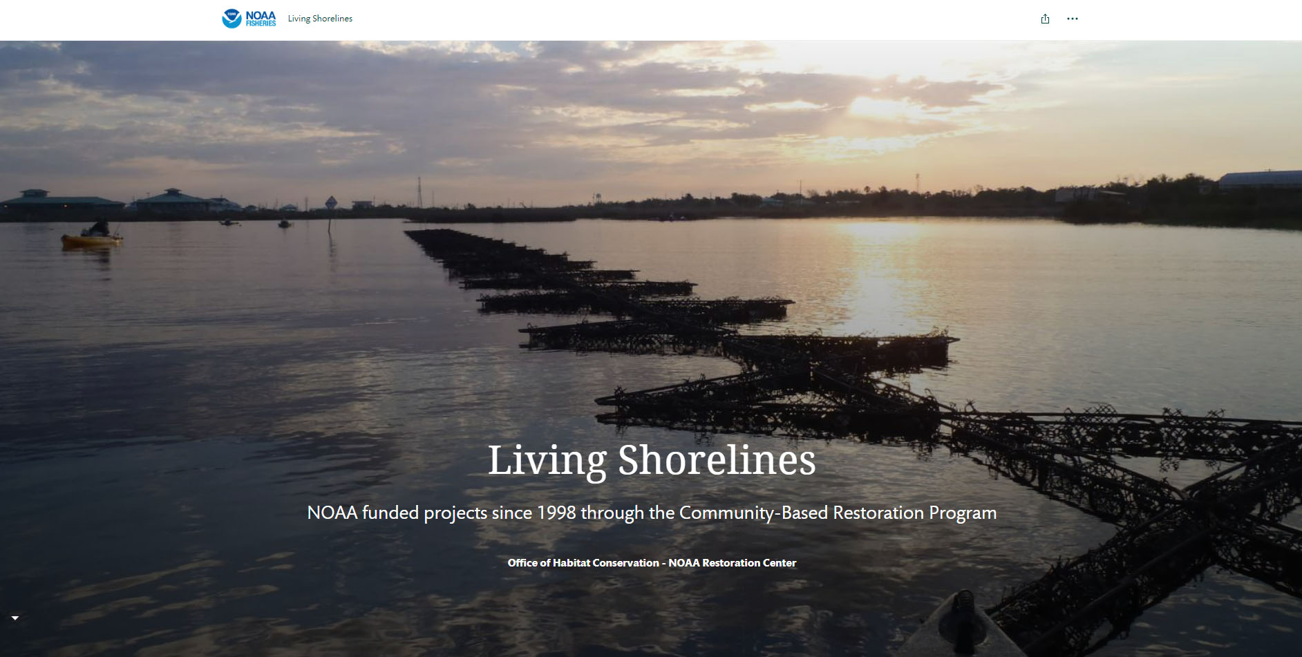
More than 150 living shoreline projects around the country demonstrate NOAA’s collaborations with partners since 1998—from small-scale designs, to projects on private property, to projects spanning several miles of shoreline. This map features living shoreline projects supported by the NOAA Restoration Center; the National Estuarine Research Reserves; and the National Centers for Coastal Ocean Science Laboratory in Beaufort, North Carolina.
In our 2015 Guidance for Considering the Use of Living Shorelines, NOAA defines a living shoreline as a shoreline stabilization project with a footprint made up of mostly native material, and which incorporates vegetation or other living, natural elements alone or in combination with some type of harder shoreline structure for added stability. Some projects included in this map have used nonnative structural material, with the intent that this material be inhabited by native species; monitoring is conducted to measure the impact of this added structural material on fishery habitat.